|
|
|
|
|
|
|
|
|
|
|
|
|
 |
|
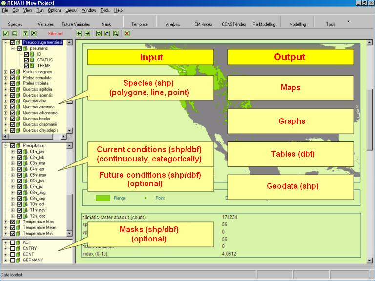
Input: - range data (shp) [polygon-, line-, point-format] - range in polygons (spatial occurance), range in points (punctual occurance), (range in lines (borders)) - simultaneous processing of different shp-formats for one species - optional: filtering by attributes by integrated query generator - environmental data (shp/dbf) [point-format] - continuous data (converted from raster data), categoric data (converted from raster data) - number of variables almost unlimited - up to very high resolution - optional: filtering by attributes by integrated query generator - masks (shp/dbf) [point-format] - optional: additional areal and content modification of analysis and prediction area - optional: filtering by attributes by integrated query generator Output: - results from analysis and model in maps, diagrams, tables (dbf) and geo data (shp/dbf) Further Functionalities: - GIS, tables, graphics, browser - (Geo-)data conversion, procession, queries, graphical output etc. |
|
|
|
|
|
2006 updated: 08.02.2011 |